25 December 2018 (slight update August 2025)
All my life I have been living close to the (Belgian) border. When I was a kid, there was still (occasional) border control, and I was told stories of old times when smugglers were active, or when – during WWI – the Germans put an electric fence on the border. With increasing European integration all this disappeared, and now one often has to pay close attention to even know that a border has been crossed. Building style, slight differences in the appearance of traffic signs, and the quality of the road are subtle hints for which side of the border one is at.
This is a very convenient situation, reflecting true integration of economic transactions and other activities. It also reflects the absence of nationalism. The local culture, including that of the other side of the border, is so much more dominant here than what is being imposed from far-away parts in the Netherlands or Belgium.
Unfortunately, borders have been re-instated to some extent, even within the EU. Intelligent cameras appear on the Belgian side of border sites on major roads, and on the German border traffic jams are re-appearing due to controls. Culture is once again defined by many people in terms of nations, rather than localities.
As a symbolic gesture against these trends, and against borders in general, I put up here an impression of some of the border sites within a (rough) radius of 25 km from my home. They are all taken from Google Streetview, and many of the smaller ones – even some that I often use – could therefore not be included. But what is included gives an impression of how obscure borders in this part of the world are. Although there should be an official marker stone at each location, you will usually not be able to find even that. So let these sites be a tribute to the absence of borders. And of course I invite you to actually visit a few of these places when you happen to be in the area.
I will generally go West to East. Let’s start with an obscure one near the Achelse Kluis monastery (which itself lies partly on Dutch and partly on Belgian territory). The road leading East from here is actually the border, for about 1 km (Streetview does not include it).
Let’s start with an obscure one near the Achelse Kluis monastery (which itself lies partly on Dutch and partly on Belgian territory). The road leading East from here is actually the border, for about 1 km (Streetview does not include it).
This one can only be passed by foot or on bike.
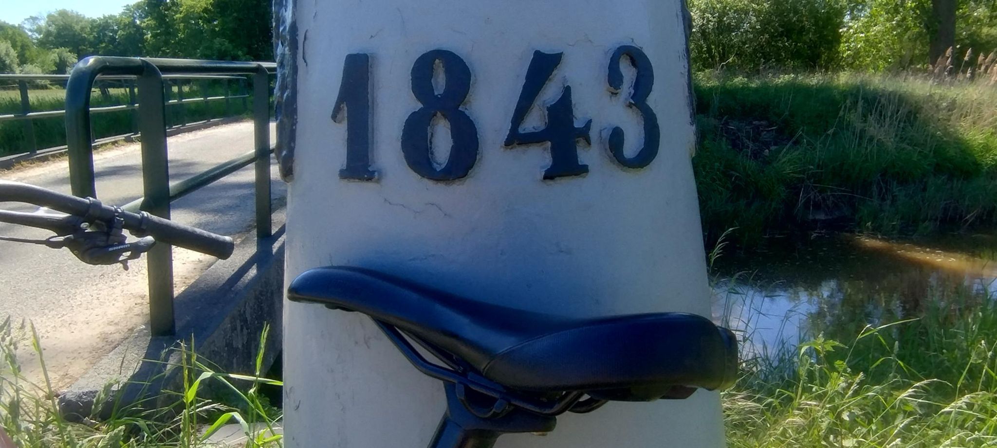
On this one, you can actually see the border marker stone (left, behind the traffic signs)
On this one, the road is the actual border:
This one marks a small monument on one of the spots of the high voltage border protection that was erected during WWI:
Another one with a border marker stone:
Finally, a bumpy one, good only for mtb’s, really, especially after a rainy period: